Sports and Leisure Activities
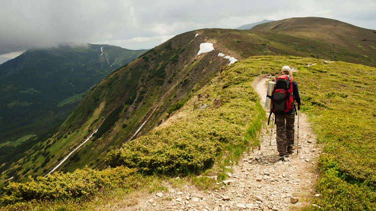
Hiking
Circling the city of Tivoli are numerous locations offering year-round outdoor activities suitable for all ages. Along the verdant landscape of Monte Catillo, visitors can indulge in hiking and leisurely horseback rides, exploring various trails like the “Dea Bona” or “del Crinale,” renowned for their historical significance.
Crowned as the “Mount of the Cross” for its iron cross adorning the peak, Monte Catillo spans around 1,340 hectares within the municipality of Tivoli. Its wealth of botanical and wildlife diversity renders it unique, attributed to its rare microclimate sculpted by cascading waterfalls and the presence of numerous plant species, several of which are on the brink of extinction.
The hiking trails within the reserve are well-marked and cover the entire area. They start from various points within the city and are identified at the beginning and intersections by red and white flags bearing the trail number.
"Dea Bona" o "Del Crinale" Trail (No. 551)
Height difference: 118 m
Walking time: 1.10 h
Difficulty: Hikers (E)
The trail begins at the Colle Ripoli parking area and follows a path for approximately 15 minutes until reaching a cliff known as “Le Roccette,” standing about 30 meters high. Continuing along the trail for another 10 minutes, hikers will encounter a 112-meter-deep chasm called “Monte Spaccato.” The path then leads through an area known as “Dei Cacciatori.” In the final stretch of the hike, hikers will arrive at Monte S. Angelo, where the ancient ruins of the “Dea Bona” are located.
Nearby trails include the “Di Pomata” Trail (No. 551/a), the “Arcese” Trail (No. 551/b), and the “La Cerra” Trail (No. 552).
“Dei Lupi” Trail (No. 330)
Height difference: 380 m
Walking time: 2 h
Difficulty: Hikers (E)
The trail corresponds to the initial section of the “Via dei Lupi,” a hiking path stretching from Tivoli to Pescasseroli. It commences from Tivoli at Largo Sant’Angelo, situated opposite the entrance to Villa Gregoriana, and proceeds towards the “Arco dell’Angelo” along the Provincial Road Via di Marcellina for approximately 200 meters. Once past the welcome sign, hikers ascend while following the white-red trail markers. Along the way, they encounter unique vegetation, such as the Sughereta di Sirivindola and Colle Rampino, as well as panoramic vistas with rocky outcrops like Colle delle Travi.
Nearby trails include the “Coleman” Trail (No. 331 and No. 331/b), the “Paolo Fantini” Trail (No. 332), the “Monte Sterparo” Trail (No. 333), the “Colle delle Travi” Trail (No. 334), and the “Colle Lecione” Trail (No. 335).